Tide Station Real-Time: Monitoring Tides for Ports and Maritime Safety
Published
PT Luwes Inovasi Mandiri
Contributor: YP
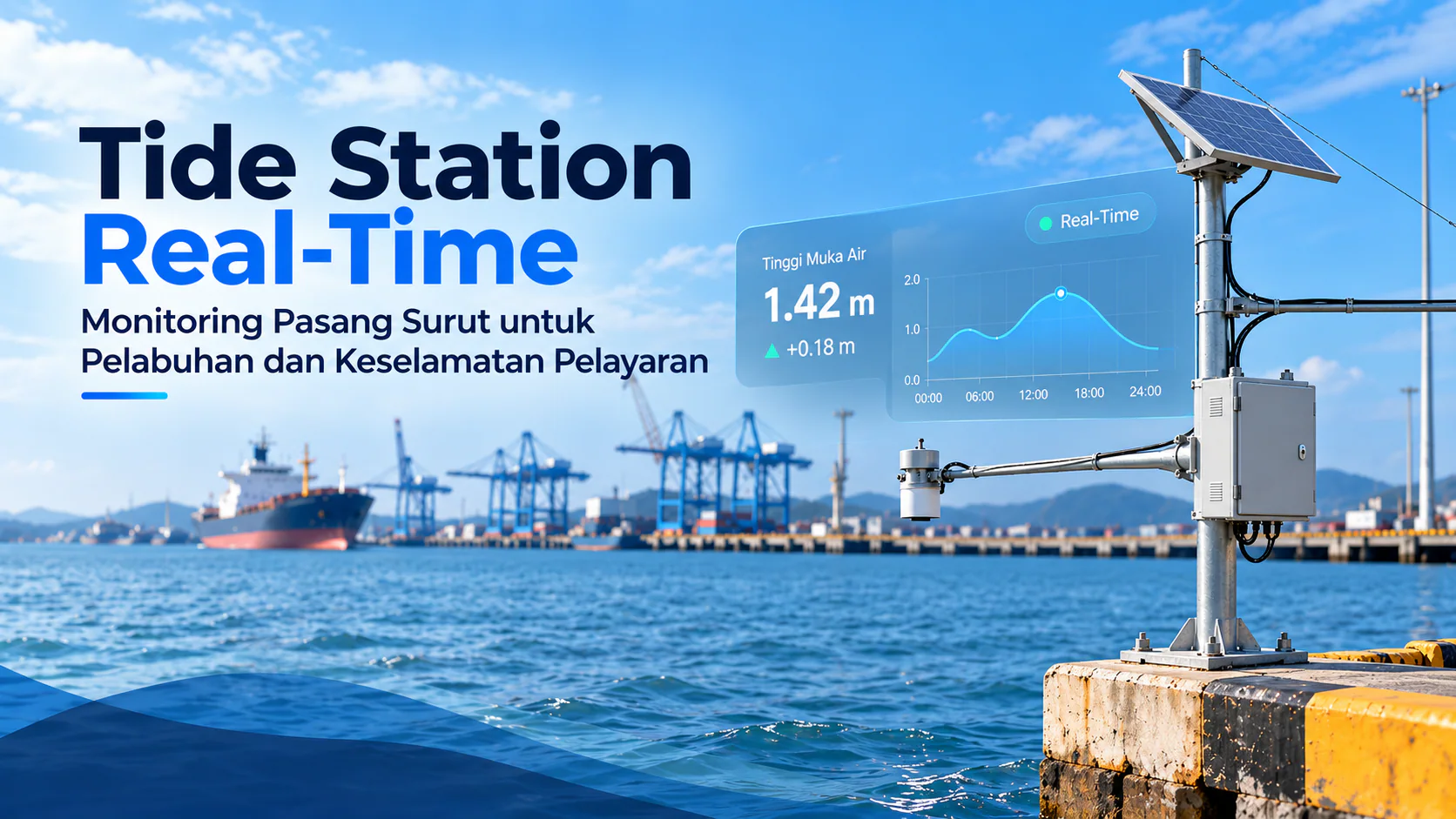
Real-time tide station monitoring provides accurate, continuous sea-level data to support safer port operations, coastal management, and better-informed maritime decisions.
Depok - In coastal areas, sea levels are constantly changing. The rise and fall of water caused by tides is not merely a natural phenomenon visible along the shoreline. For ports, vessel operators, coastal managers, and agencies responsible for maritime safety, even relatively small changes in water level can affect daily operations.
For this reason, accurate and continuously updated sea-level information is essential. One technology that supports this need is a tide station, an automated monitoring system designed to measure changes in water level and transmit the data through a telemetry network.
Unlike manual observations conducted only at certain times, modern tide stations make it possible to monitor water levels in real time or near real time. This data can become an important component of a more responsive and data-driven coastal monitoring system.
Tides and Port Operations
Port activities are closely related to water conditions. Vessels entering or leaving a harbor must take into account actual water depth, navigation channel characteristics, vessel draft, and tidal fluctuations.
During low-tide conditions, the clearance between the bottom of a vessel and the seabed may decrease. Conversely, certain high-tide periods may provide more favorable conditions for vessels with deeper drafts to maneuver in areas where channel depth is limited.
Tidal information therefore serves more than a hydrographic purpose. In port management, it can support operational planning, help evaluate navigation channel conditions, and improve awareness of changing marine conditions.
Consistently collected historical data can also provide a clearer picture of tidal patterns at a particular location. When combined with meteorological data, wave conditions, currents, and other oceanographic information, tidal records can help stakeholders understand coastal dynamics more comprehensively.
From Sensor to Monitoring Dashboard
A tide station generally consists of several interconnected components.
A water-level sensor is installed at a suitable location where changes in sea level can be measured consistently. The measurement data is then collected by a data logger or telemetry device before being transmitted to a server.
The communication method can be adapted to site conditions. Cellular networks, radio communication, or other transmission technologies can be used to send field data to the monitoring center.
Once the data reaches the server, it can be displayed through a dashboard in the form of numerical readings, water-level graphs, historical records, and device status information.
With this approach, personnel no longer need to remain continuously at the monitoring site simply to obtain the latest measurements.
The system can also be configured with threshold-based alerts when water levels reach predetermined limits. This allows a tide station to function not only as a recording instrument, but also as part of an operational warning and decision-support system.
Real-Time Data for Maritime Safety
Reliable information is an important part of reducing uncertainty in maritime operations.
A tide station provides updated information about actual water-level conditions, giving operators and authorities an additional source of data when monitoring vessel movements or evaluating marine conditions.
This becomes increasingly important in ports and coastal areas where environmental conditions can change significantly over time. Variations in water level may affect access channels, berthing areas, coastal structures, and other port facilities.
However, tidal information should not be used in isolation. Weather conditions, waves, currents, navigation depth, vessel characteristics, and applicable maritime regulations remain important considerations in operational and safety decisions.
The primary role of a monitoring system is therefore to provide continuous field data so that decisions can be supported by measurable and updated information.
Beyond Port Operations
Sea-level monitoring also offers benefits beyond harbor activities.
Tide station data can support coastal studies, the development and maintenance of coastal infrastructure, reclamation projects, oceanographic research, and the monitoring of extreme events in shoreline areas.
Over the long term, continuously recorded water-level data can become an important historical dataset for understanding changes in local coastal conditions.
Its value increases further when multiple stations are connected within one integrated monitoring network. Users can observe conditions at several locations simultaneously, reducing dependence on a single observation point and improving regional coastal awareness.
Building an Integrated Coastal Monitoring System
PT Luwes Inovasi Mandiri develops Tide, Coastal & Marine Monitoring solutions by integrating measurement instruments, data loggers, telemetry communication, servers, and monitoring dashboards.
Each implementation can be adjusted according to site characteristics, required measurement intervals, available power sources, communication infrastructure, and integration requirements with existing systems.
For port operators and institutions responsible for coastal areas, the challenge is not simply installing a sensor. A reliable monitoring system must ensure that field data can be measured, transmitted, stored, visualized, and used consistently.
Ultimately, monitoring technology provides one fundamental capability: the ability to understand field conditions based on actual data.
In coastal environments that continuously change with the dynamics of the sea, this capability can support safer port operations, more effective coastal monitoring, and better-informed maritime decision-making.
Consultation for Tide Station & Telemetry Systems
PT Luwes Inovasi Mandiri provides support for tide station planning, including sensor selection, telemetry systems, data communication, server integration, and real-time monitoring dashboards for coastal and marine applications.
PT Luwes Inovasi Mandiri
Industrial IoT & Monitoring Solutions
🌐 www.luwesinovasimandiri.com
📷 Instagram: @luwesinovasimandiri
💼 LinkedIn: Luwes Inovasi Mandiri
📘 Facebook: LuwesSolutions
📲 Whatsapp : +62 811-8185-5558
📍 Luwes Office : Depok, West Java, Indonesia
Tags:
Thinking of using this at your site?
Start with the equipment and approaches below. Your site requirements determine the right setup.
- AWLR: water level recorderSee how water levels are measured and how installation depends on the site.
- A system for your requirementsDiscuss requirements that do not fit a single catalogue product.
- Explore installation regionsExplore installations grouped by region. Your project may need a different setup.