Solutions Hub

Integrated Monitoring Solutions

A structured portfolio for government, infrastructure, industrial, and environmental operations. Designed to deliver calm control, faster decisions, and trusted visibility.

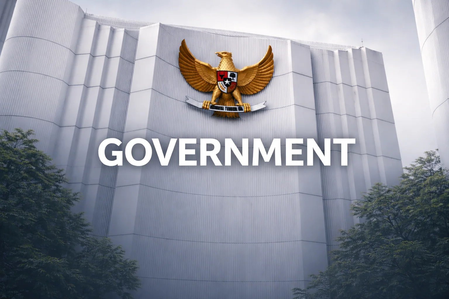
Government & Public Sector

Smart governance through data-driven environmental management

Integrated visibility for ministries, agencies, and command centers.

Overview

National-scale visibility for critical services

Build one operational picture across water, weather, and risk domains.

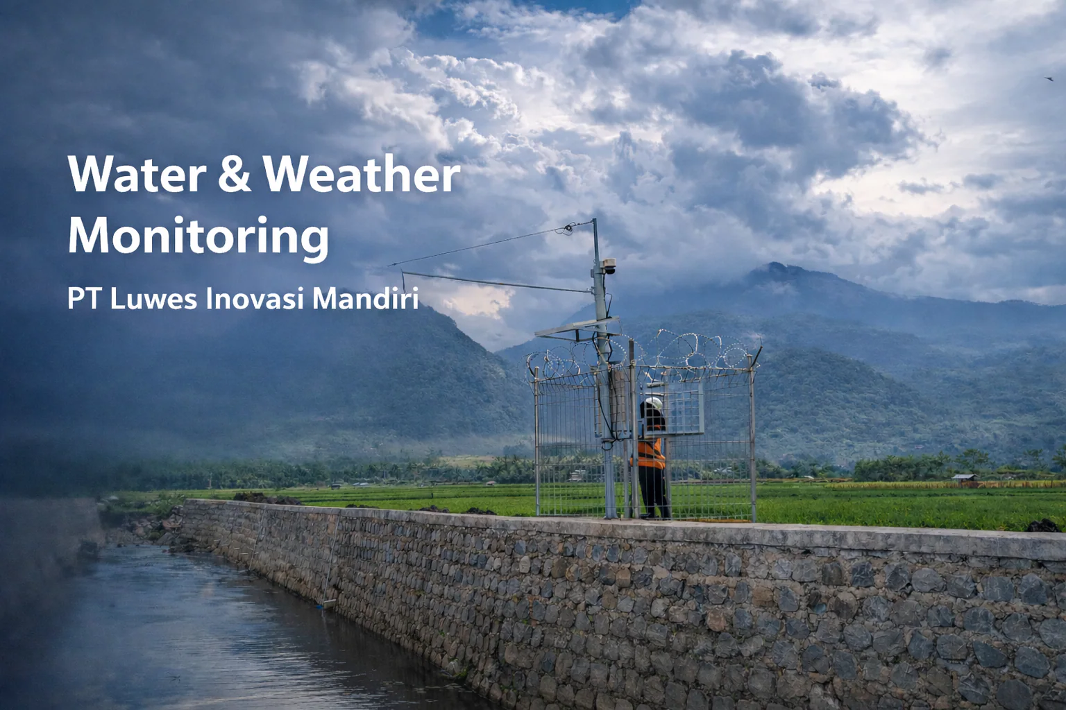
Luwes helps agencies monitor river basins, rainfall intensity, and urban risk corridors in one command workflow. The platform is designed for policy execution speed and public transparency.

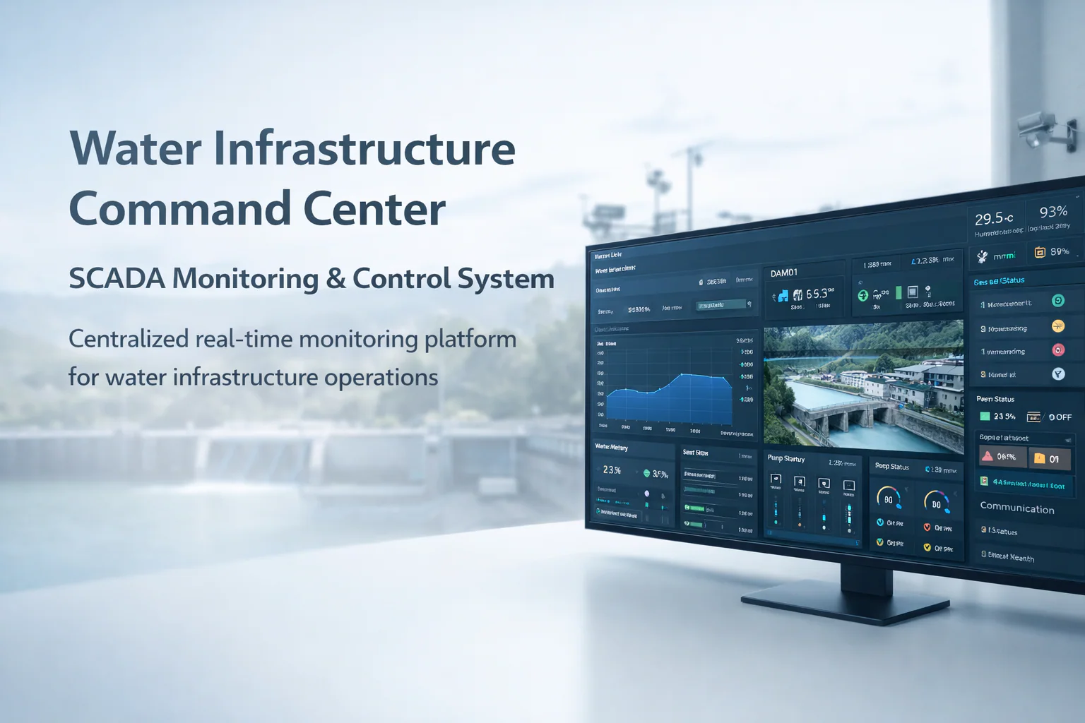
  • Centralized geospatial dashboard for national and regional operators
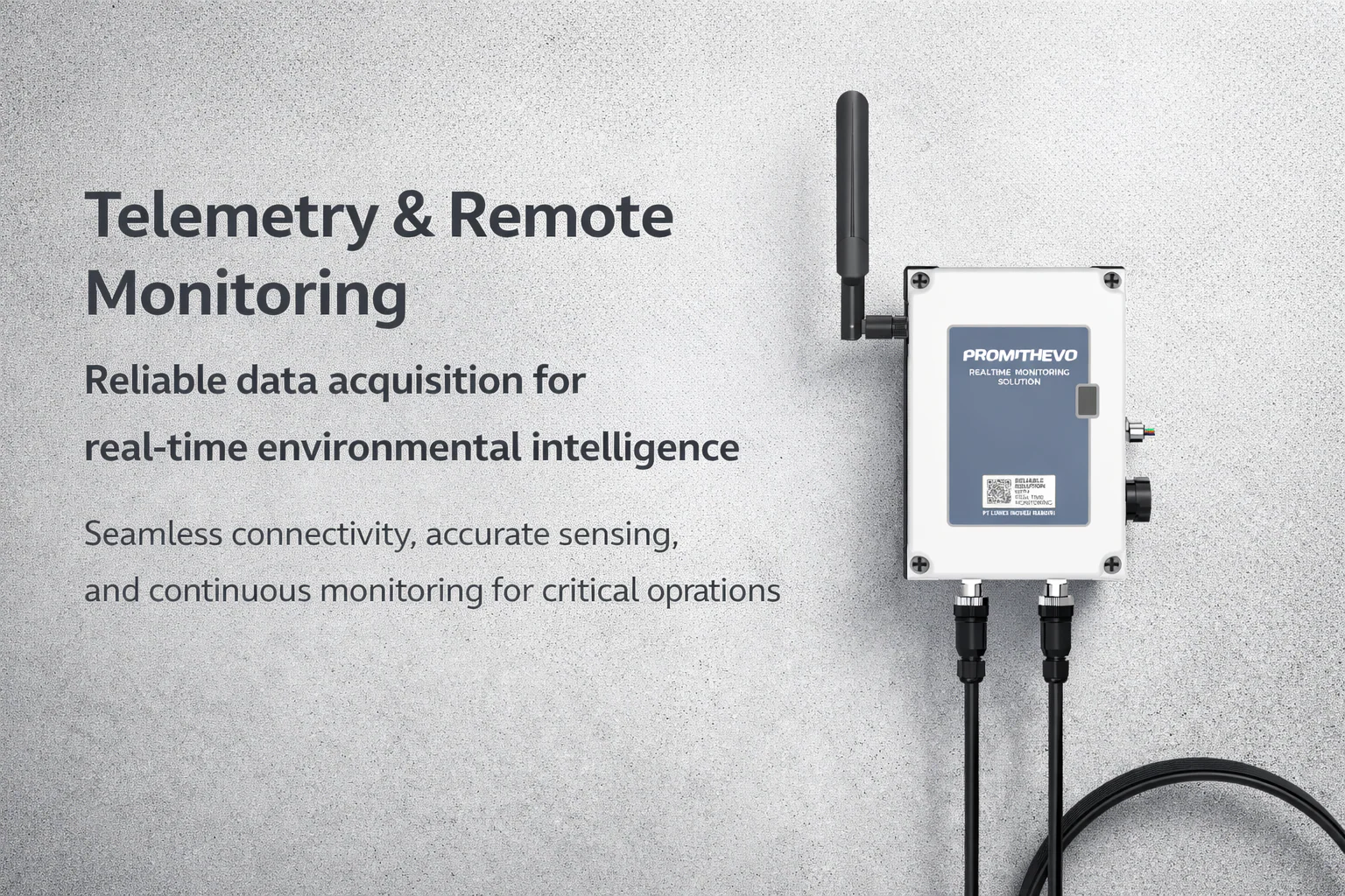
  • Cross-agency data unification from telemetry, weather, and field inspections
  • Policy-ready reports for operational briefings and decision boards
Earth observation for public sector monitoring

Clients & agencies served

30+

Deployment locations

1,500+

Active AWLR units

600+

Related Insights

View all insights
Insight content is being prepared. Please check again shortly.

Need a custom architecture?

Let Us Map Your Monitoring Strategy End-to-End

From site instrumentation and telemetry to analytics and command dashboards, we design enterprise-grade deployments that stay readable, reliable, and scalable.

Chat with us on WhatsApp