AWLR · Water level
Track changing river and lake levels with automatic measurements.
Technology
Explore devices and services for water, weather, infrastructure and industrial operations.
5 categories · 13 devices and services
Track water levels and rainfall with automatic instruments. Choose connected monitoring or a standalone logger to suit your site.
3 devices and services
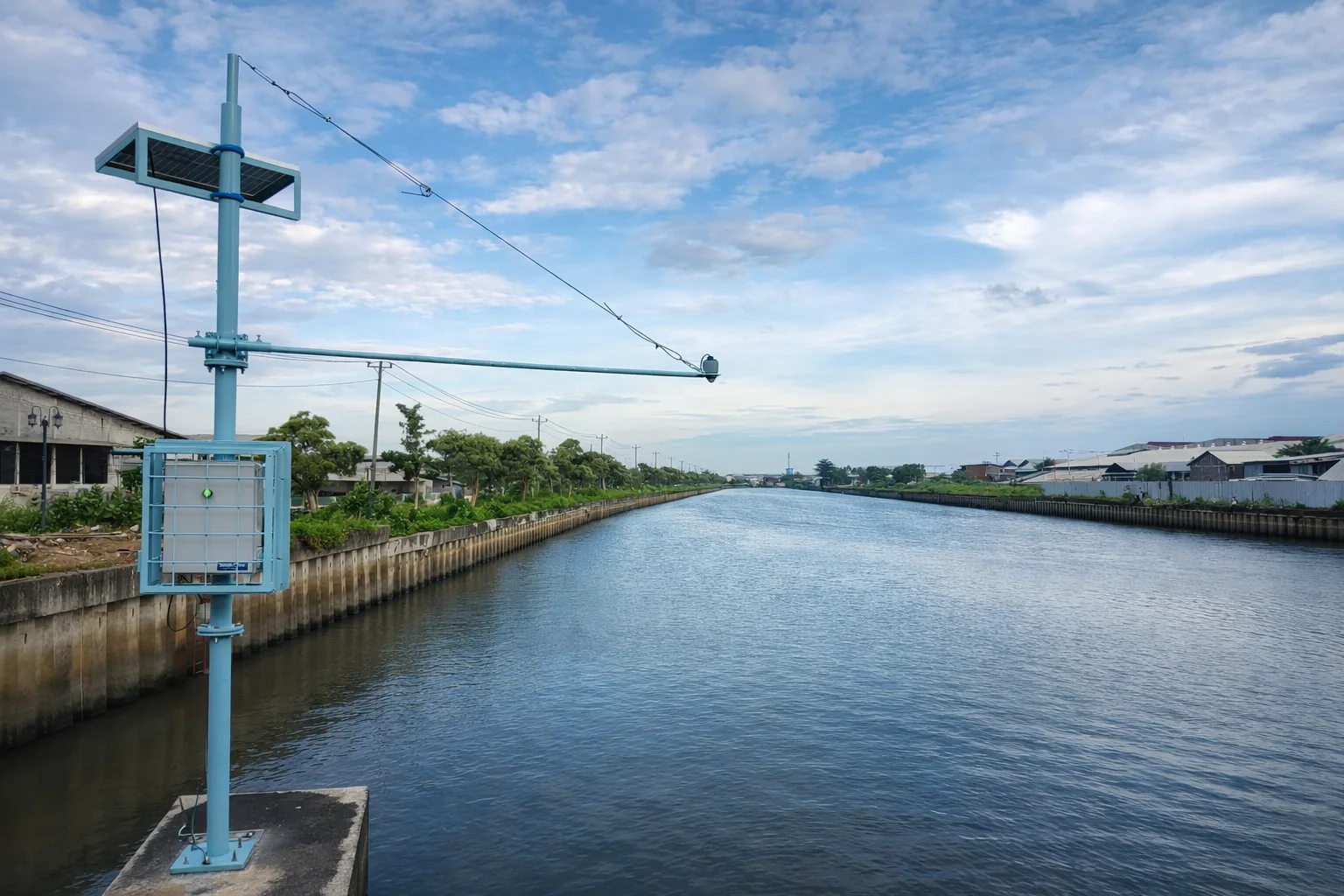
Track changing river and lake levels with automatic measurements.
Record rainfall totals and intensity to review changing conditions at your site.
Store water-level measurements on the device and collect the records during a field visit.
Measure weather at your site with AWS, or explore regional forecasts and soil-moisture information through SPIRE data services.
2 devices and services
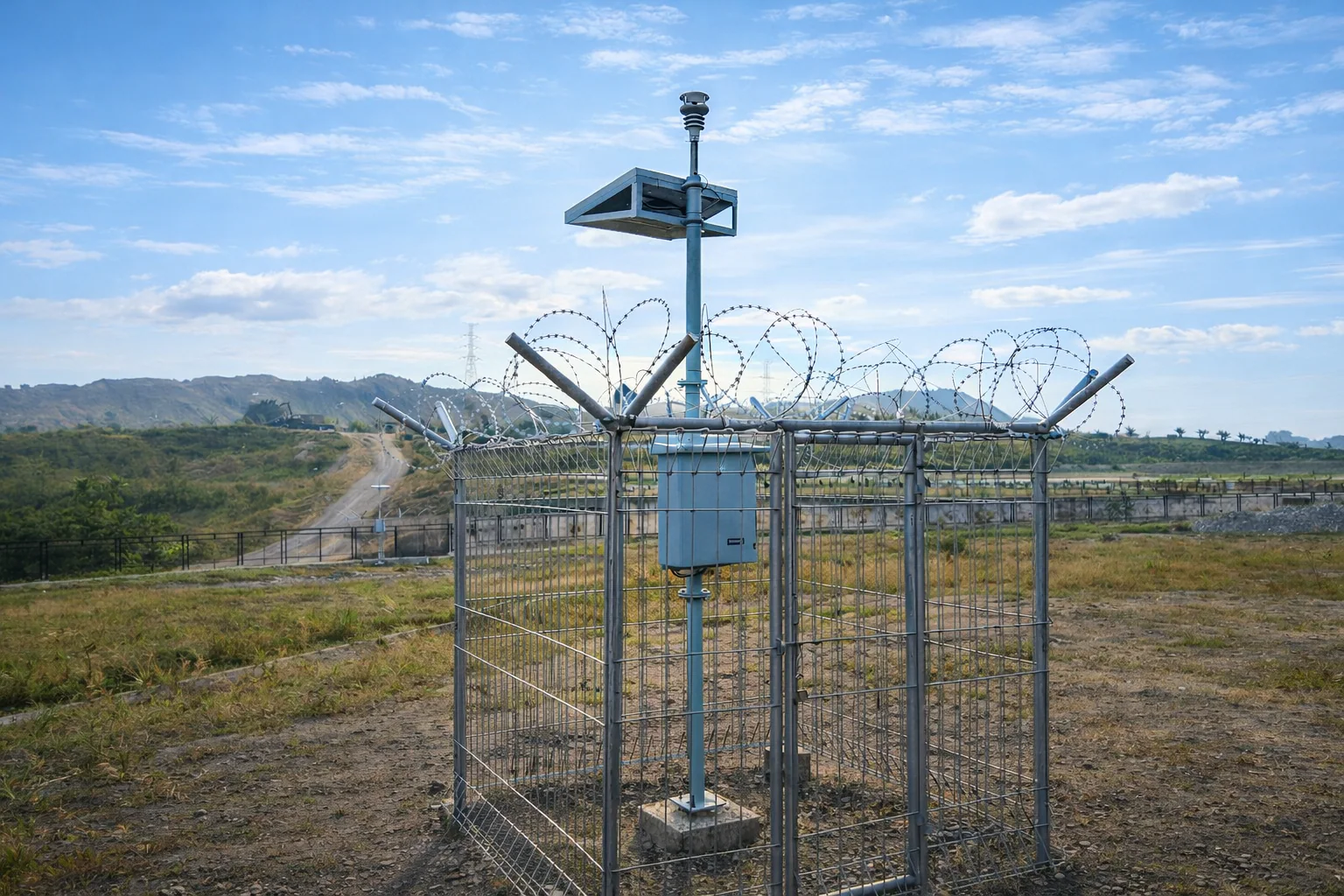
Measure local weather with sensors selected for your site and the information your team needs.
Explore regional weather forecasts, location charts and soil-moisture information.
Explore positioning, structural measurements and shallow-water mapping. Each approach provides a different view of your site and its conditions.
3 devices and services
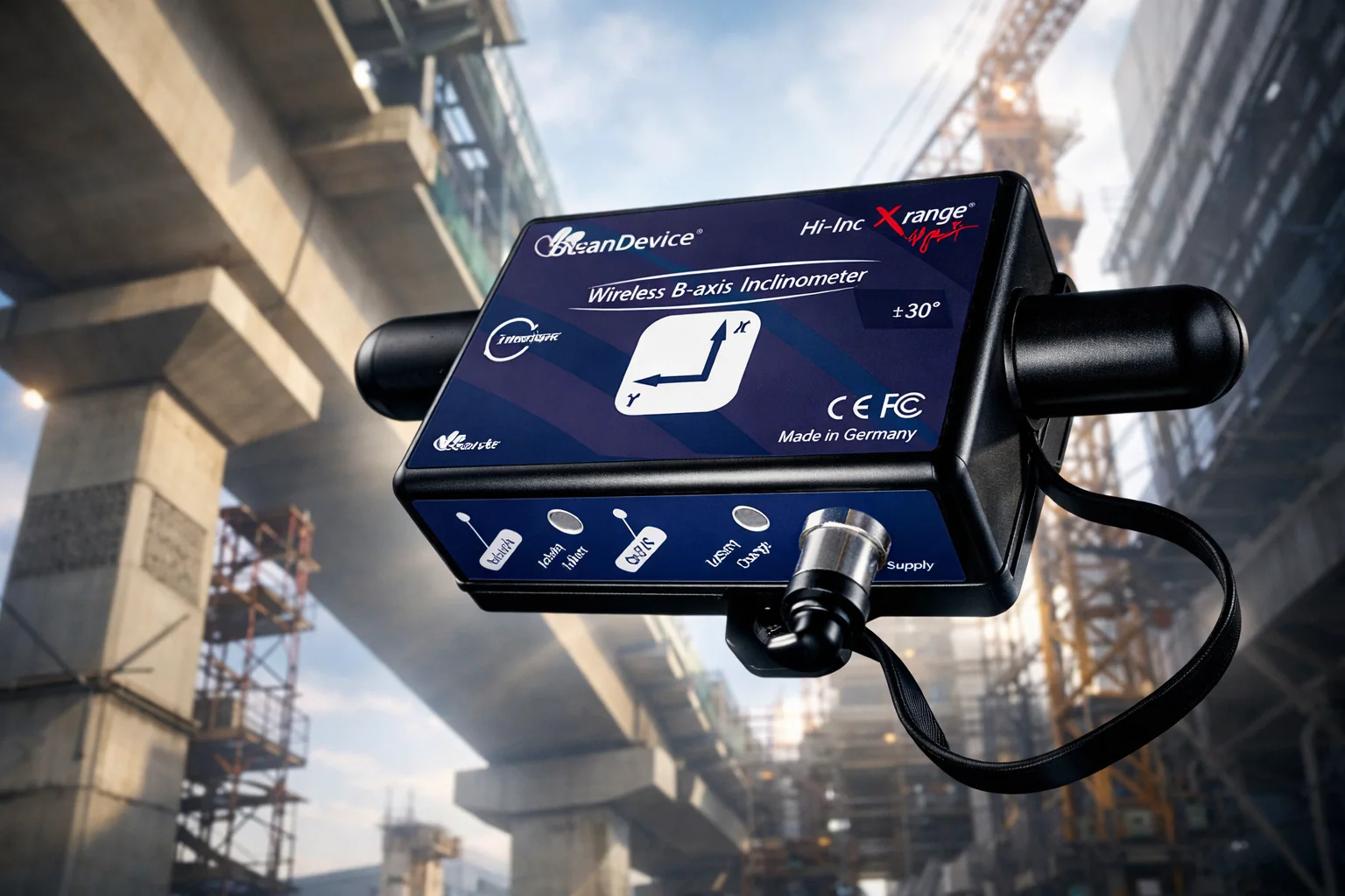
Explore a reference station and receiver for survey, mapping and field positioning work.
Review measurements of vibration, movement and strain to support your team's assessment of structures.
Estimate shallow-water depth patterns using satellite imagery and field reference measurements.
Bring field measurements, alerts and operational records together. Explore SCADA, tank monitoring, digital workflows and system maintenance.
4 devices and services
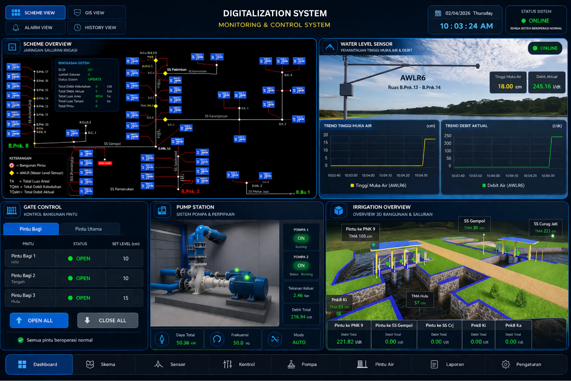
Bring equipment readings and alerts into one operational view, with control functions defined for your system.
Review tank level and temperature measurements to support storage planning.
Connect measurements, work records and follow-up actions so your team can review the same information.
Plan inspections, repairs and technical support around the equipment and work at your site.
Start with your site and the information your team needs. Discuss instruments, data transmission and interfaces that fit the work.
1 devices and services
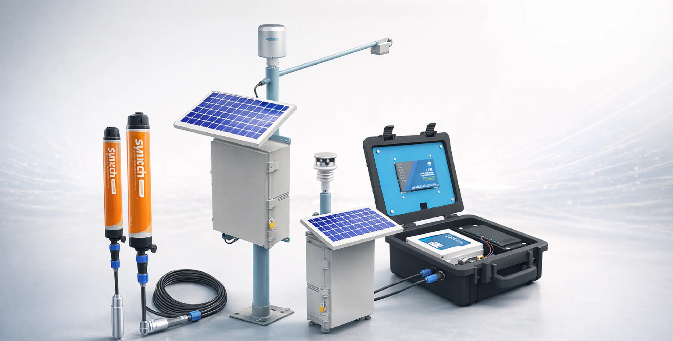
Discuss a monitoring system shaped around your site, instruments and reporting needs.
Before you choose
Open a product guide to compare its uses, limits, installation and quotation questions.
Compare remote monitoring with a recorder collected during site visits.
Site measurements and forecasts answer different questions. Choose what your team needs.
Positioning helps locate survey points. Satellite mapping estimates shallow-water depth from suitable images.
Track selected changes such as movement or vibration alongside professional inspections.
Separate the need to measure a tank, control equipment, or organise work records.
Discuss a system designed for your site, or review maintenance for the equipment you already use.
How the system works
Connected monitoring can follow this flow. Standalone loggers, mapping and maintenance use different steps to suit the work.
Devices measure water levels, rainfall, and other conditions at the site.
Readings are sent through the communication network available at the site.
Measurements are collected and stored so your team can review them over time.
Your team can view current readings and past measurements in one place.
Trends and alerts help your team spot changes that need attention.
Your team uses the findings to plan inspections, maintenance, or other action.
Integration support
Tell us about your site, the information you need, and how your team will use it. We can help you choose a suitable approach.