Field Insights & Case Studies
Technical documentation, field deployment reports, brochures, and infrastructure monitoring implementations.


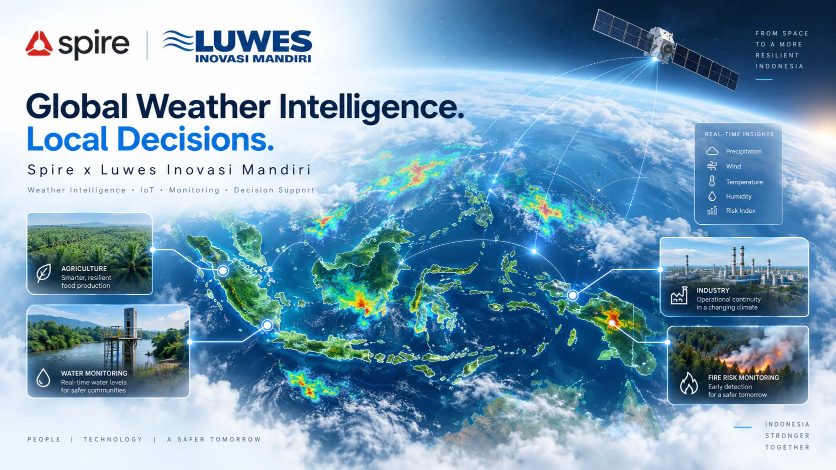
Global Weather Intelligence. Local Decisions.
PT Luwes Inovasi Mandiri integrates Spire's weather intelligence with local technology and operational solutions to help organizations across Indonesia make faster, more informed, and data-driven decisions.

Shallow Water Mapper: A Satellite-Based Solution for Shallow-Water Bathymetric Mapping
Shallow Water Mapper (SWM) is a solution from PT Luwes Inovasi Mandiri for mapping shallow-water bathymetry using multispectral satellite imagery and machine learning. SWM supports area selection, image correction, depth prediction, accuracy assessment using field data, and map export. SWM helps accelerate preliminary surveys, prioritize field measurements, and support coastal planning and management.
Water Level Solution: Integrated Monitoring for Flood and Drought Risk Control
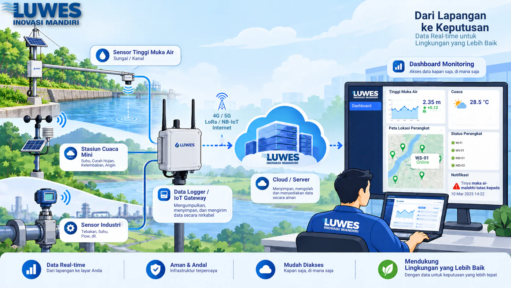
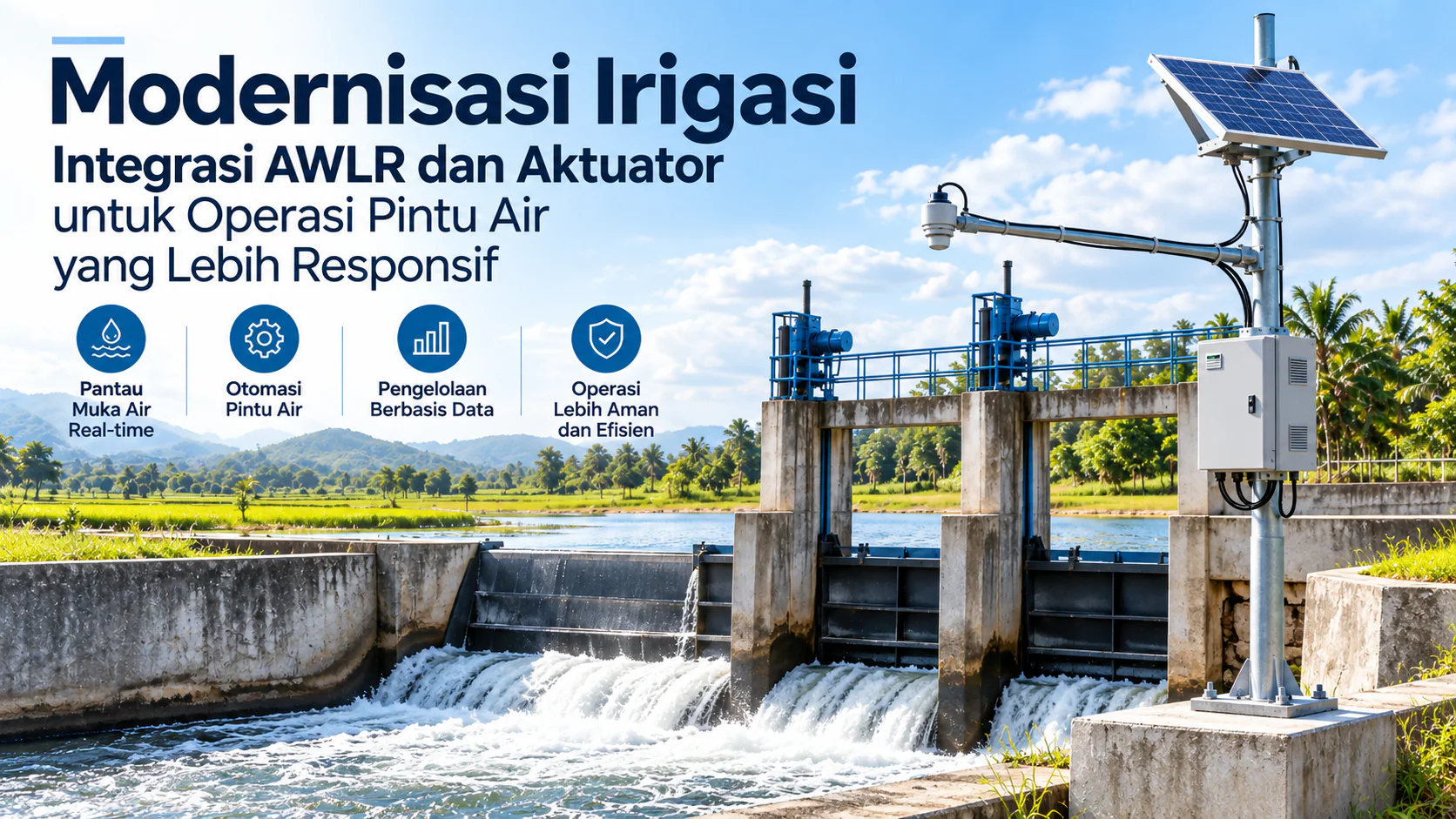
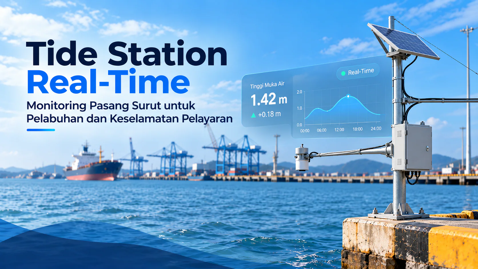
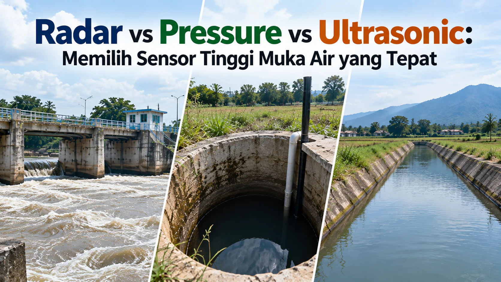
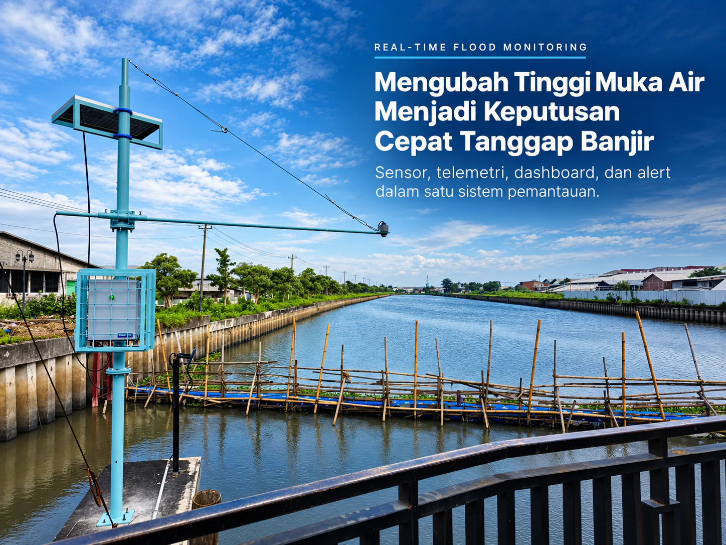
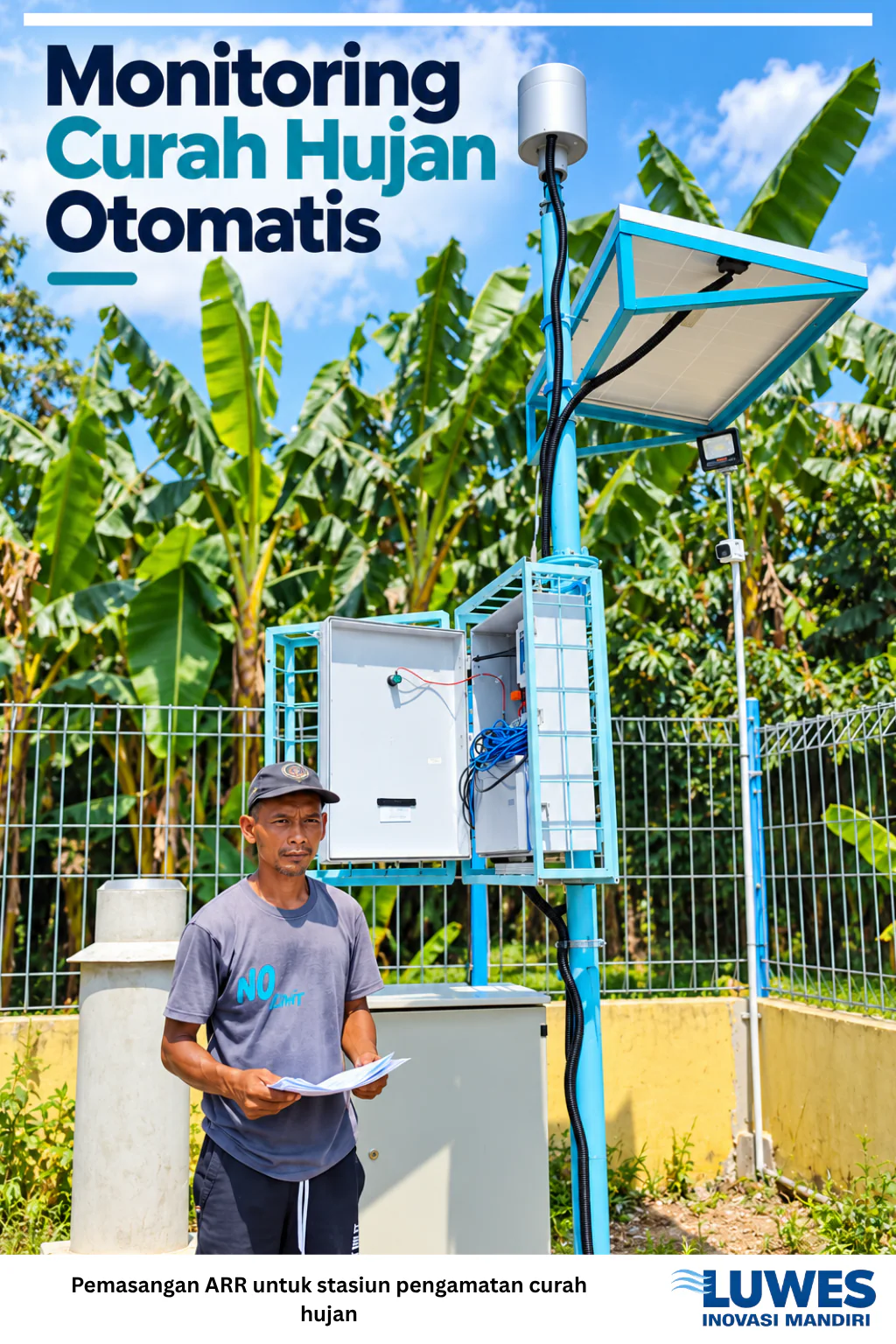
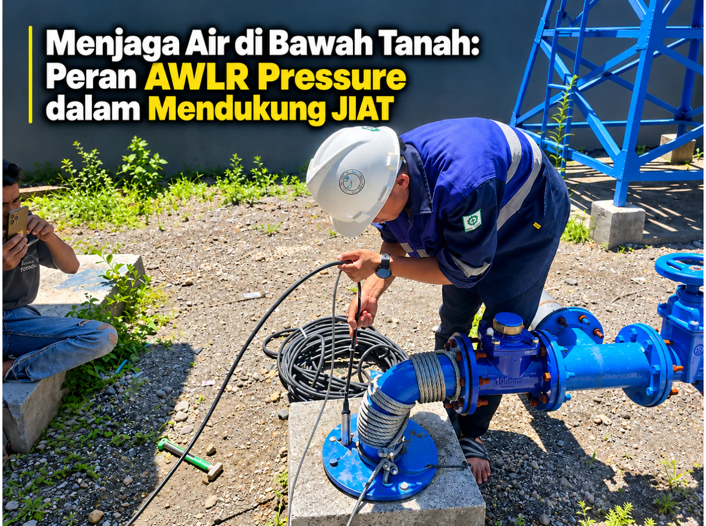
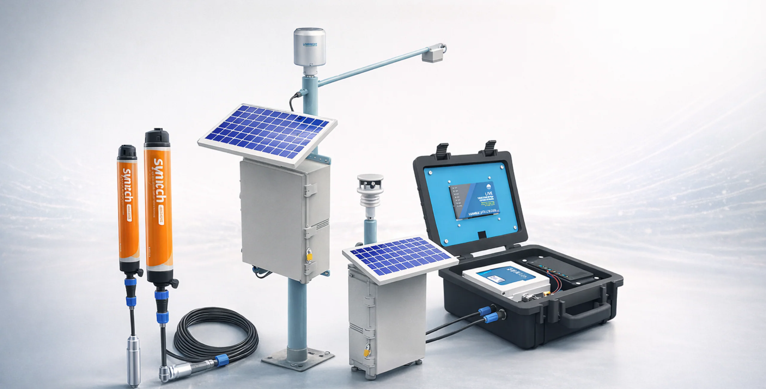
Control flood and drought risks with accurate real-time water level monitoring for groundwater (TMAT), rivers, canals, dams, and sea levels.
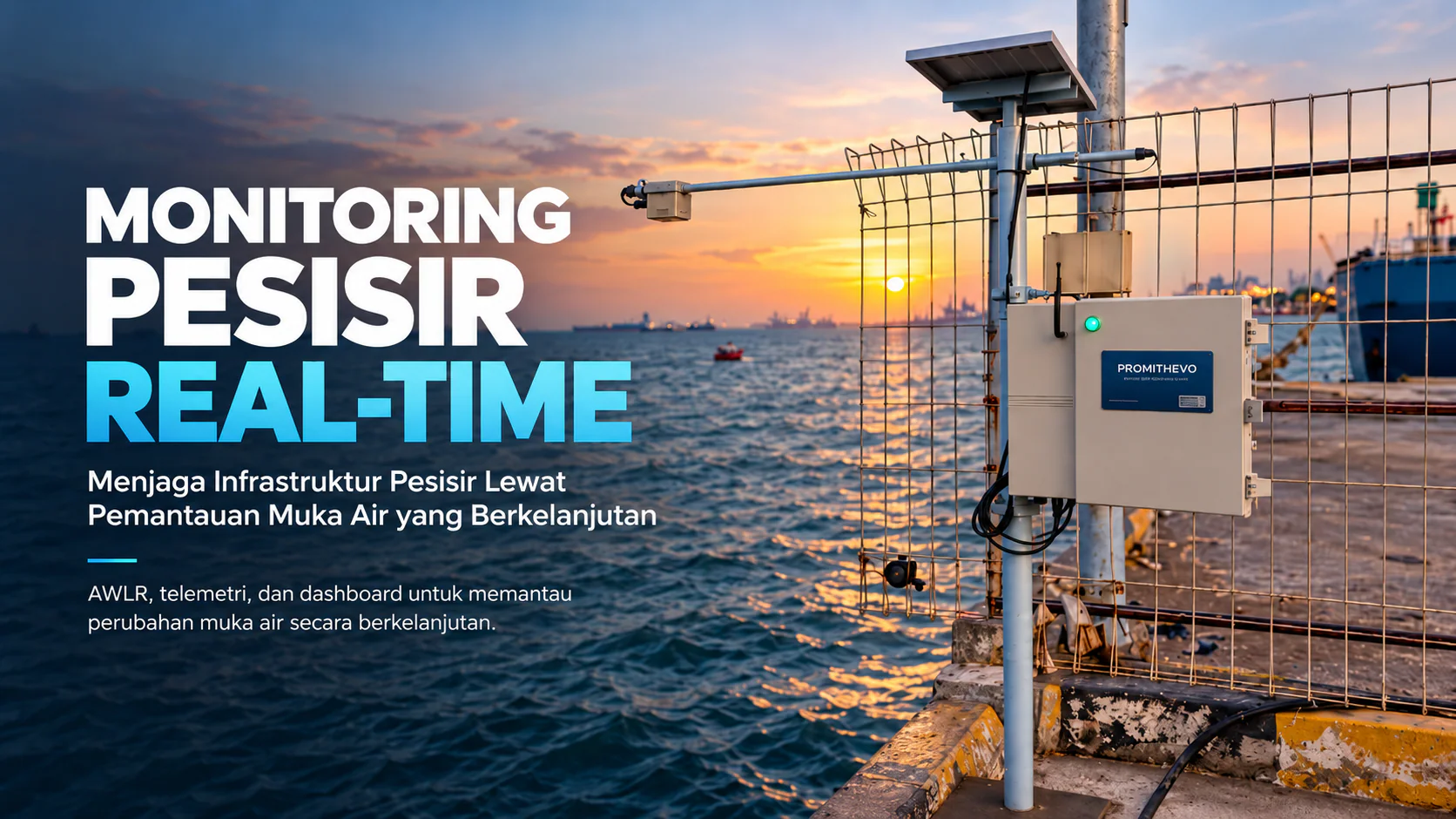
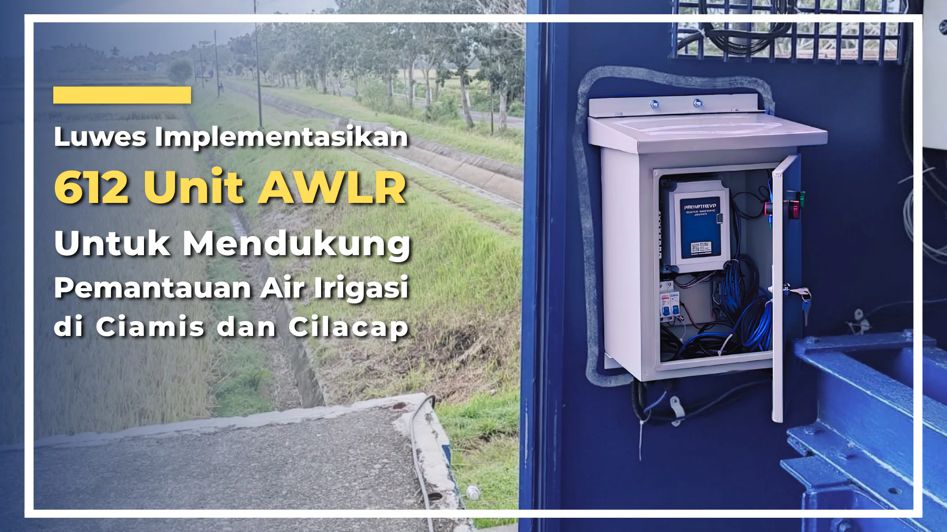
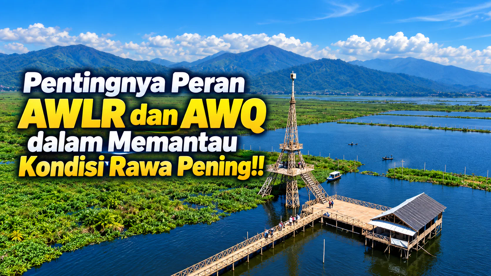
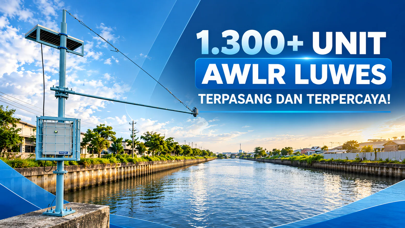
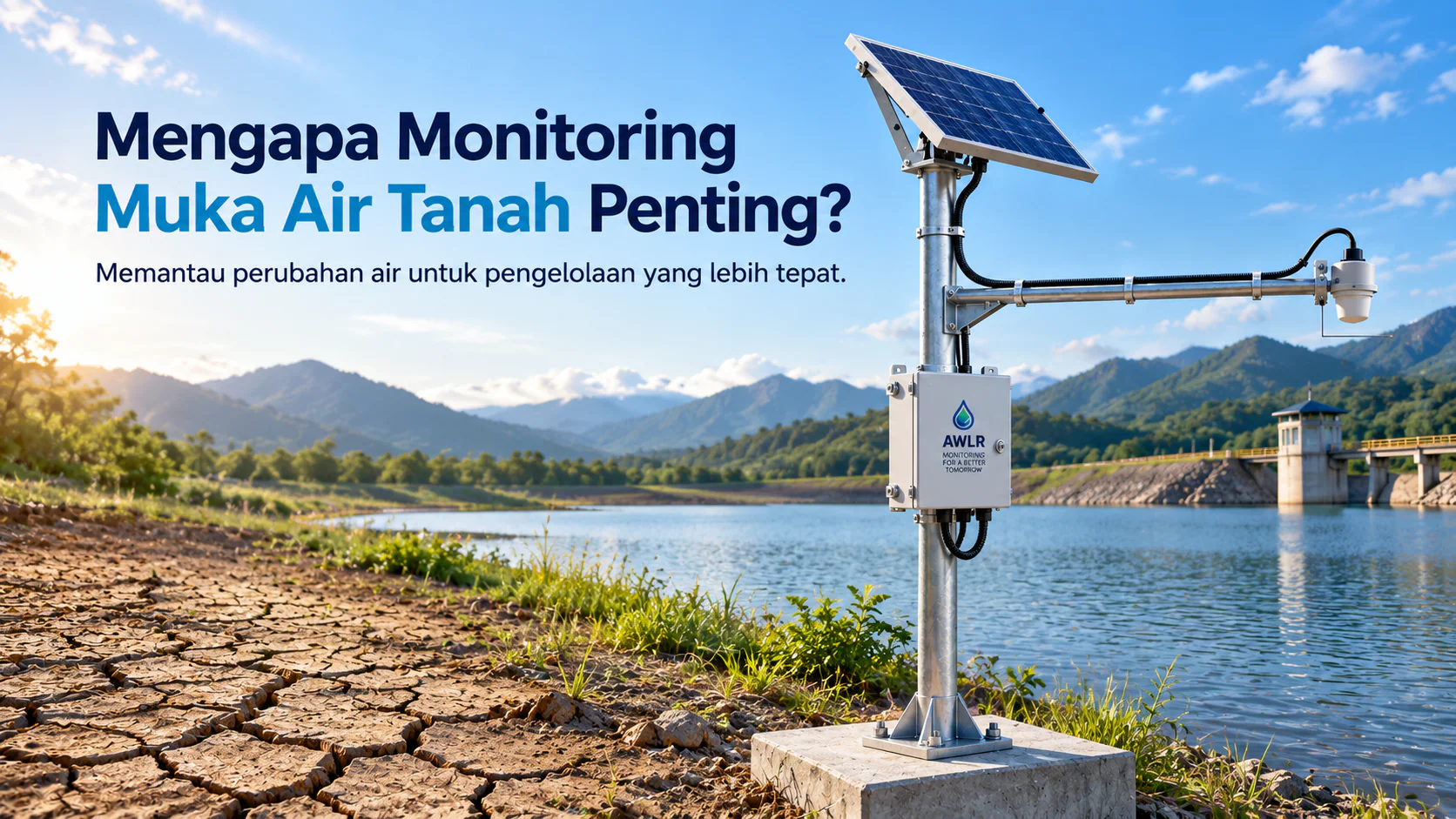
AWLR for Continuous Water Level Monitoring
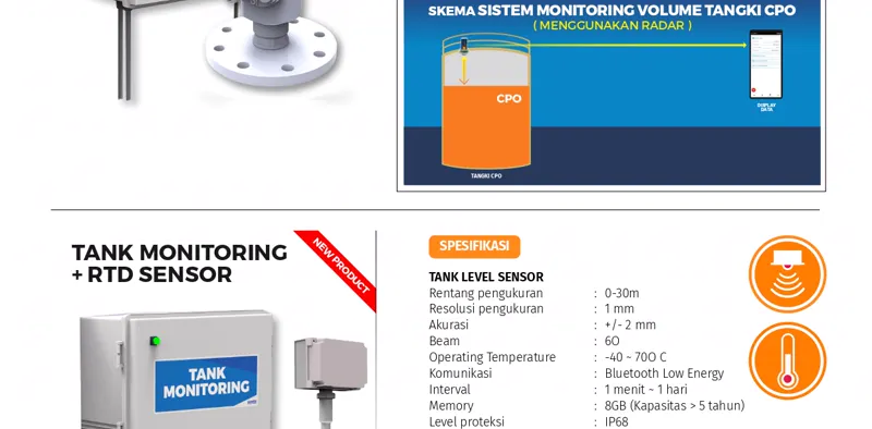
Continuous monitoring of water level using radar-based AWLR system.